Our ecosystem monitoring, data publishing, and forecasting program is focused on two drinking water reservoirs co-located in the Blue Ridge Mountains in southwestern Virginia, USA. Falling Creek and Beaverdam Reservoirs were built in the late 1800s and have similar morphometry, dimictic thermal dynamics, meso-eutrophic chemistry, and catchment land use. Both reservoirs are located on the homeland of the Tutelo/Monacan People and are managed as drinking water sources by the Western Virginia Water Authority. Falling Creek and Beaverdam Reservoirs are two of the southernmost waterbodies in the USA that still exhibit ice cover during the winter (intermittently through December-February).
Falling Creek Reservoir
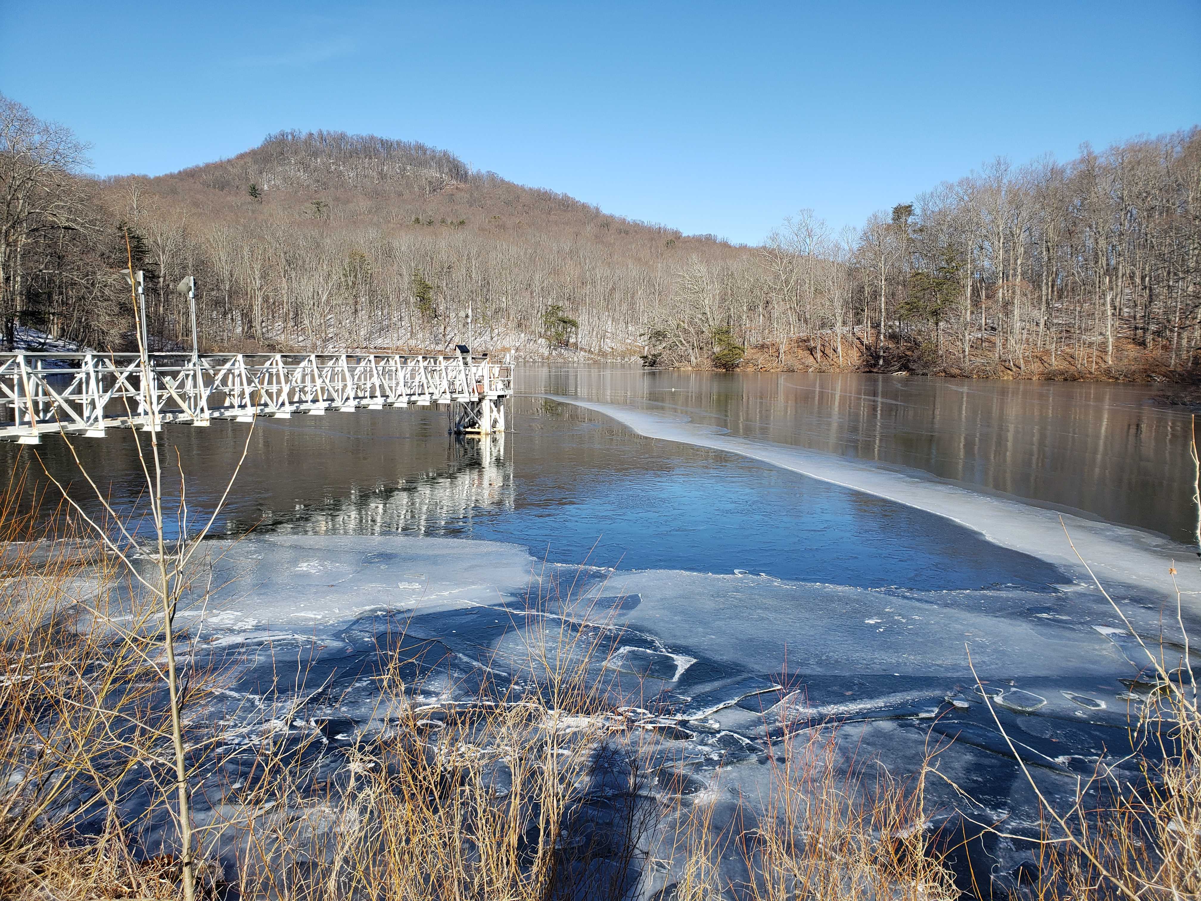
Falling Creek Reservoir is a shallow (maximum depth at full pond = 9.3 m), small (0.119 square km) reservoir located at 37.30325 latitude, -79.8373 longitude. Falling Creek Reservoir has a hypolimnetic oxygenation (side-stream supersaturation) system, which maintains the hypolimnion as oxic during the summer stratified period.
Beaverdam Reservoir
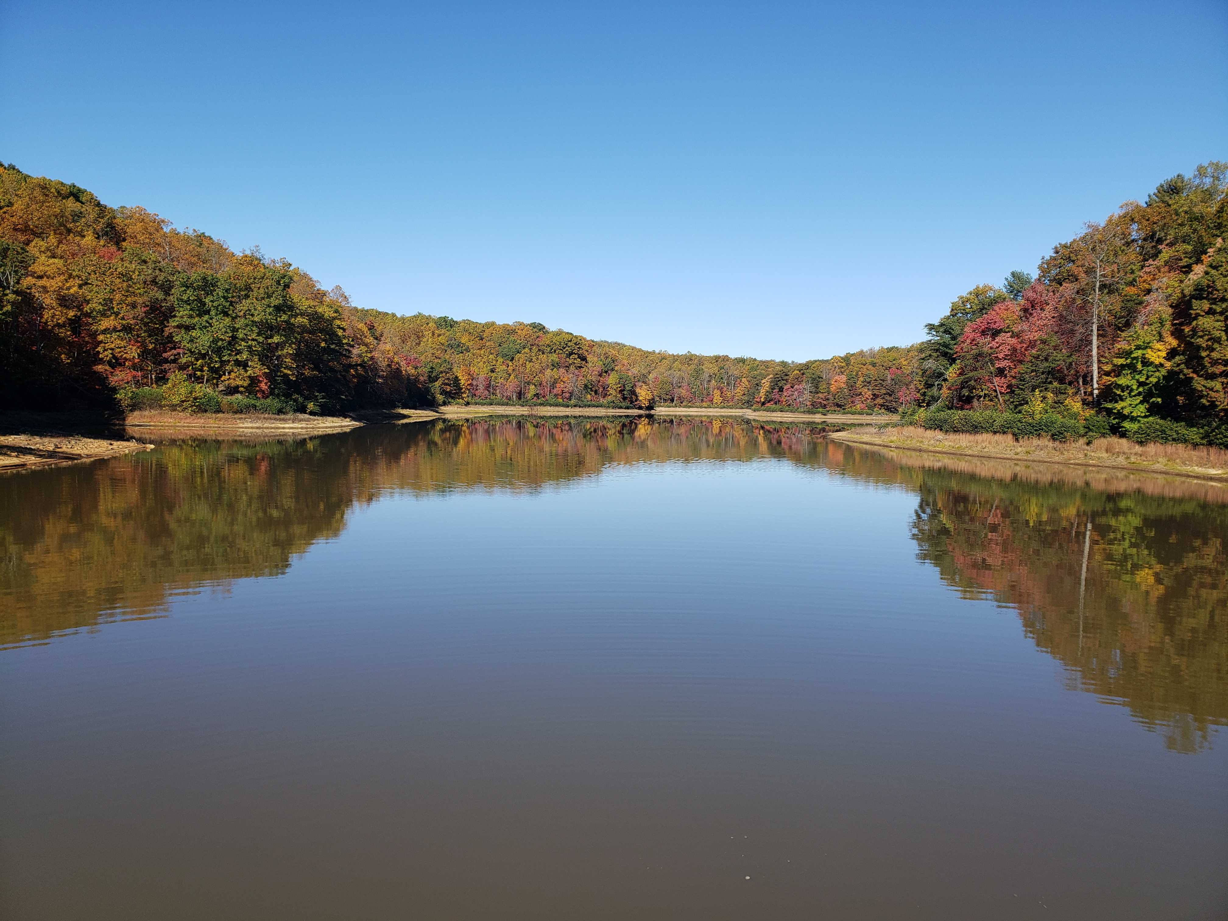
Beaverdam Reservoir is a shallow (maximum depth at full pond = 13.4 m), small (0.39 square km) reservoir located at 37.314783, -79.820864. The hypolimnion of Beaverdam Reservoir quickly becomes anoxic after the onset of summer stratification.
Tunnel Branch
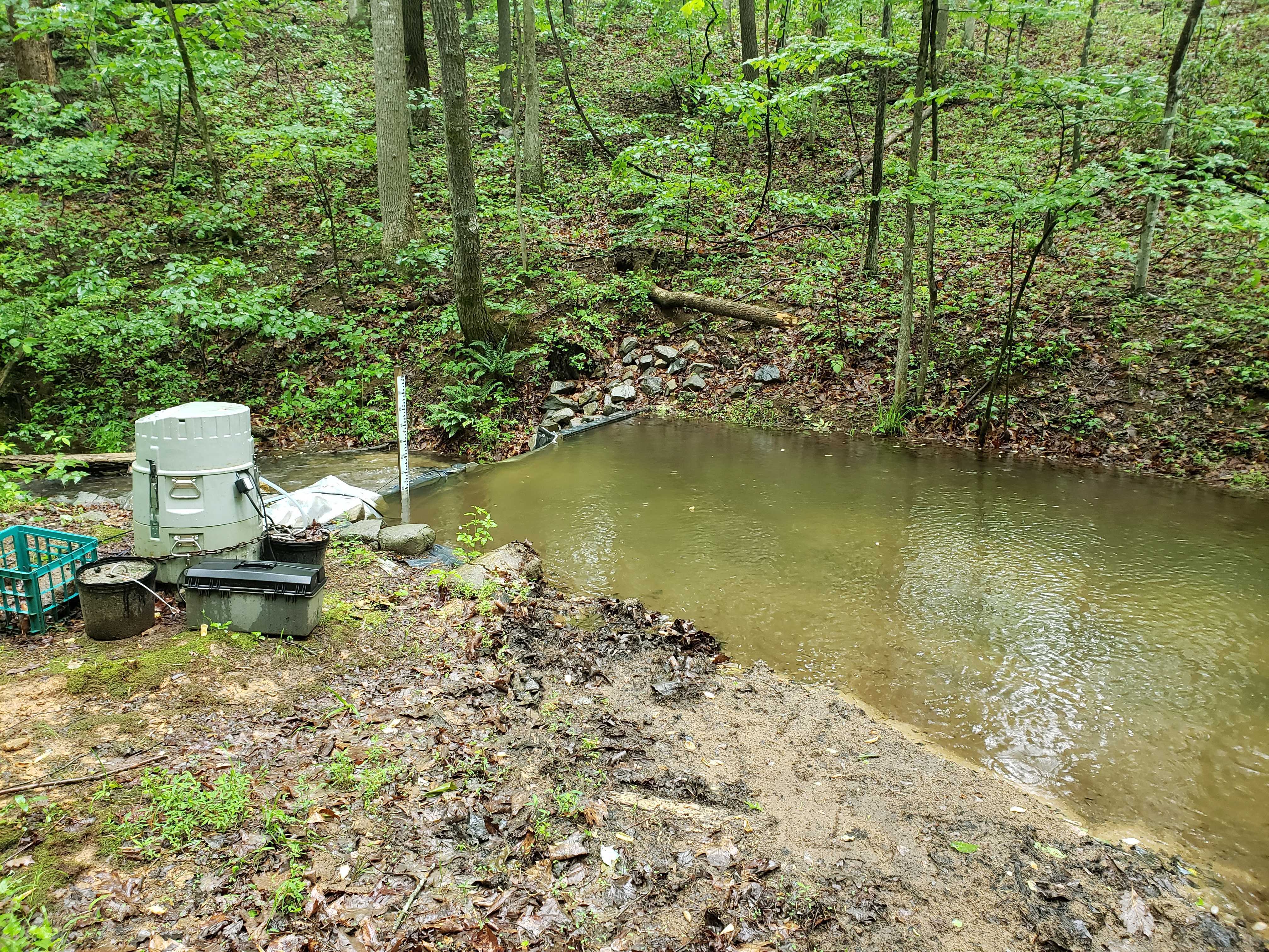
Tunnel Branch is a 1.7 km-long stream that connects upstream Beaverdam Reservoir to downstream Falling Creek Reservoir.